Video by OpenCV via YouTube
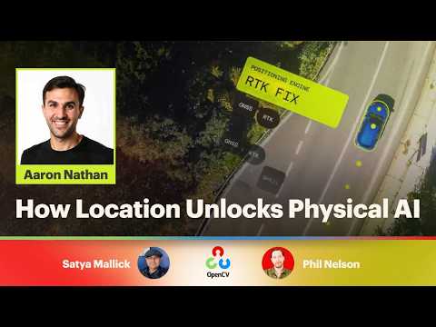
Physical AI (autonomous vehicles, delivery robots, drones, farm and construction machines) cannot move from prototype to deployment without knowing exactly where it is, often to the centimeter, under real-world conditions that break lab-tested designs. Aaron Nathan, founder and CEO of Point One Navigation, explains why precise location has historically been too complex and costly to integrate. He then shows how a unified platform combining satellite corrections, sensor fusion, and developer-ready software turns centimeter-level positioning into a standard building block that lets fleets of intelligent machines scale.
OpenCV is a 501(c)(3) registered non-profit in the United States. See how you can support open source CV & AI: http://opencv.org/support/
Watch along for your chance to win during our live trivia segment, and participate in the live Q&A session with questions from you in the audience.
Become a paid member of the channel to help us make more episodes https://www.youtube.com/channel/UCkrcW82Y2kbgU-U9RaYfgxw/join
Got a cool project of your own? Send it to us and you may be featured https://www.jotform.com/form/233105358823151